
Anúncios
Getting from point A to point B shouldn’t involve guesswork, paper maps, or asking strangers for directions. A good GPS and maps app changes how you move through the world. 🗺️
Millions of people rely on navigation apps every single day, whether commuting to work, exploring a new city, or planning a long road trip. These tools have quietly become as essential as a phone’s camera or messaging app.
This article breaks down how modern GPS apps actually work, what features matter most, and how to pick the right one for your specific needs — without the marketing fluff.
How Modern Navigation Apps Actually Work#
GPS apps combine several data sources to figure out where you are and how to get where you’re going. It’s not just satellites anymore.


Your phone pulls signals from GPS satellites, nearby Wi-Fi networks, and cell towers to triangulate your position within a few meters. This is called assisted GPS (A-GPS), and it’s why your location locks in faster indoors than with a standalone GPS device from 2010.
Once your position is set, the app layers in real-time traffic data collected from other users’ phones. Google Maps, for instance, uses anonymized speed and location data from millions of Android devices to detect slowdowns before they show up on official traffic reports.
- Satellite positioning: Establishes your raw coordinates.
- Crowdsourced traffic: Flags congestion, accidents, and road closures in near real time.
- Historical patterns: Predicts typical traffic for a given day and hour, even without live data.
- Road network databases: Determine legal turns, one-way streets, and speed limits.
This combination is why a route estimate can shift by five minutes the moment you start driving — the app is constantly recalculating based on fresh inputs.
Why Accuracy Varies by Location#
Rural areas and developing regions often have less detailed map data than major metro areas. A road in rural Montana might be mapped with less precision than a street in central Paris, simply because fewer users generate correction data there.
Dense urban cores can also cause GPS drift due to tall buildings bouncing satellite signals — a phenomenon called the urban canyon effect. If your blue dot jumps around downtown, this is usually why.
Comparing the Most Popular GPS Apps#
Not every navigation app serves the same purpose. Some prioritize speed, others prioritize detail, and a few are built specifically for offline use or cycling routes.
| App | Best For | Offline Maps | Unique Feature |
|---|---|---|---|
| Google Maps | General daily navigation | Yes | Live View AR walking directions |
| Waze | Avoiding traffic and police checkpoints | Limited | Community-reported hazards |
| Apple Maps | iPhone and CarPlay integration | Yes | Detailed indoor mall maps |
| Maps.me | International travel with no data plan | Full offline | Downloadable country-level maps |
| Organic Maps | Hiking and privacy-focused users | Full offline | No tracking, open-source code |
Google Maps remains the default choice for most people because of its coverage and integration with local business data, like reviews and real-time opening hours. Waze, on the other hand, feels more like a community-driven alert system layered over a map.
When Offline Maps Actually Matter#
Downloading maps before a trip isn’t just a backup plan — it’s often the difference between arriving on time and getting stranded. Cellular dead zones are more common than most travelers expect, especially in:
- Mountain and forest regions with limited cell towers
- International trips where roaming data is disabled
- Cruise ship excursions in remote ports
- Underground parking garages and tunnels
Google Maps allows users to download regional maps up to 50km x 50km in size, stored for offline navigation for 30 days before needing an update. This single feature has saved countless road trips from turning into stressful detours.
Features That Actually Improve Your Daily Commute#
Beyond basic turn-by-turn directions, a handful of features separate a decent app from a genuinely useful one.
Lane Guidance and Junction Views#
Complex highway interchanges with five or six lanes can be confusing even for experienced drivers. Apps with lane guidance show exactly which lane to be in, 500 meters before the split, reducing last-second swerving.
Speed Limit Alerts#
Many navigation apps now display the posted speed limit directly on screen and issue a soft alert when you’re going over it. This single feature has measurable safety value — studies on fleet vehicles show speed-alert systems reduce speeding incidents by roughly 20-30%.
Parking Difficulty Predictions#
Google Maps analyzes historical parking data for a destination and flags areas as “limited,” “medium,” or “easy” for parking. It’s a small detail, but genuinely useful when heading into a crowded downtown area during peak hours.
Here’s a quick way to evaluate which features matter for your specific routine:
- Daily city commuter: Prioritize live traffic rerouting and parking predictions.
- Frequent international traveler: Prioritize offline map downloads and multi-language voice guidance.
- Weekend hiker or cyclist: Prioritize trail-specific apps like Organic Maps or Komoot.
- Rideshare or delivery driver: Prioritize lane guidance and real-time ETA accuracy.

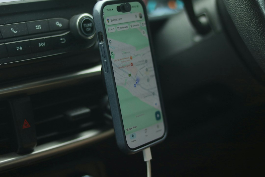
Google Maps
Installs10B+
Size487.2MB
PlatformAndroid/iOS
PriceFree
Information about size, installs, and rating may change as the app is updated in the official stores.
Battery Drain and Data Usage: What to Expect#
Running GPS continuously, with the screen on and voice guidance active, is one of the heavier tasks a phone can perform. Expect roughly 10-15% battery drain per hour of active navigation on most smartphones, depending on screen brightness.
A few practical adjustments can reduce this impact significantly:
- Lower screen brightness to 50% or less during navigation
- Use voice-only mode when the screen isn’t needed for visual cues
- Close background apps that also use location services
- Connect to a car charger on trips longer than 45 minutes
Data usage is generally light for standard navigation — around 5MB per hour for map tiles and traffic updates — but it climbs significantly if satellite imagery or Street View is loaded frequently during the trip.
Privacy Settings Worth Checking#
Most navigation apps track location history by default to improve traffic predictions and personalized suggestions. This is useful, but worth reviewing periodically.
Within Google Maps, users can enable auto-delete for location history after 3, 18, or 36 months. Apple Maps, by contrast, processes most navigation data on-device and doesn’t tie it to an Apple ID, which appeals to privacy-conscious users.
Choosing the Right App for Specific Travel Situations#
No single app wins in every scenario. The smartest approach is matching the tool to the trip.
For a cross-country road trip through areas with spotty coverage, offline-capable apps like Maps.me or downloaded Google Maps regions prevent the frustration of losing signal mid-route. For dense urban driving where traffic patterns shift by the minute, Waze’s crowdsourced alerts often outperform standard traffic algorithms.
Cyclists and hikers benefit from specialized apps that factor in elevation gain, trail surface type, and water source locations — details that standard driving apps simply don’t track. Komoot and AllTrails fill this gap effectively.
International business travelers should pay attention to voice guidance language support and local traffic law differences, like which countries restrict certain turns or require specific lane usage for trucks.
The right app often ends up being a combination of two: one for daily driving and another kept installed specifically for offline backup during trips off the beaten path. 📍
Keep reading
You might also like

Best News and Curiosities App for Daily Facts
Staying informed in a world full of noise is tricky, but a well-built news and facts app can turn chaos into clarity,…

Best Apps to Watch Movies and Series Online
Choosing the right app for watching movies and series can transform how you unwind after a long day, giving you instant access…